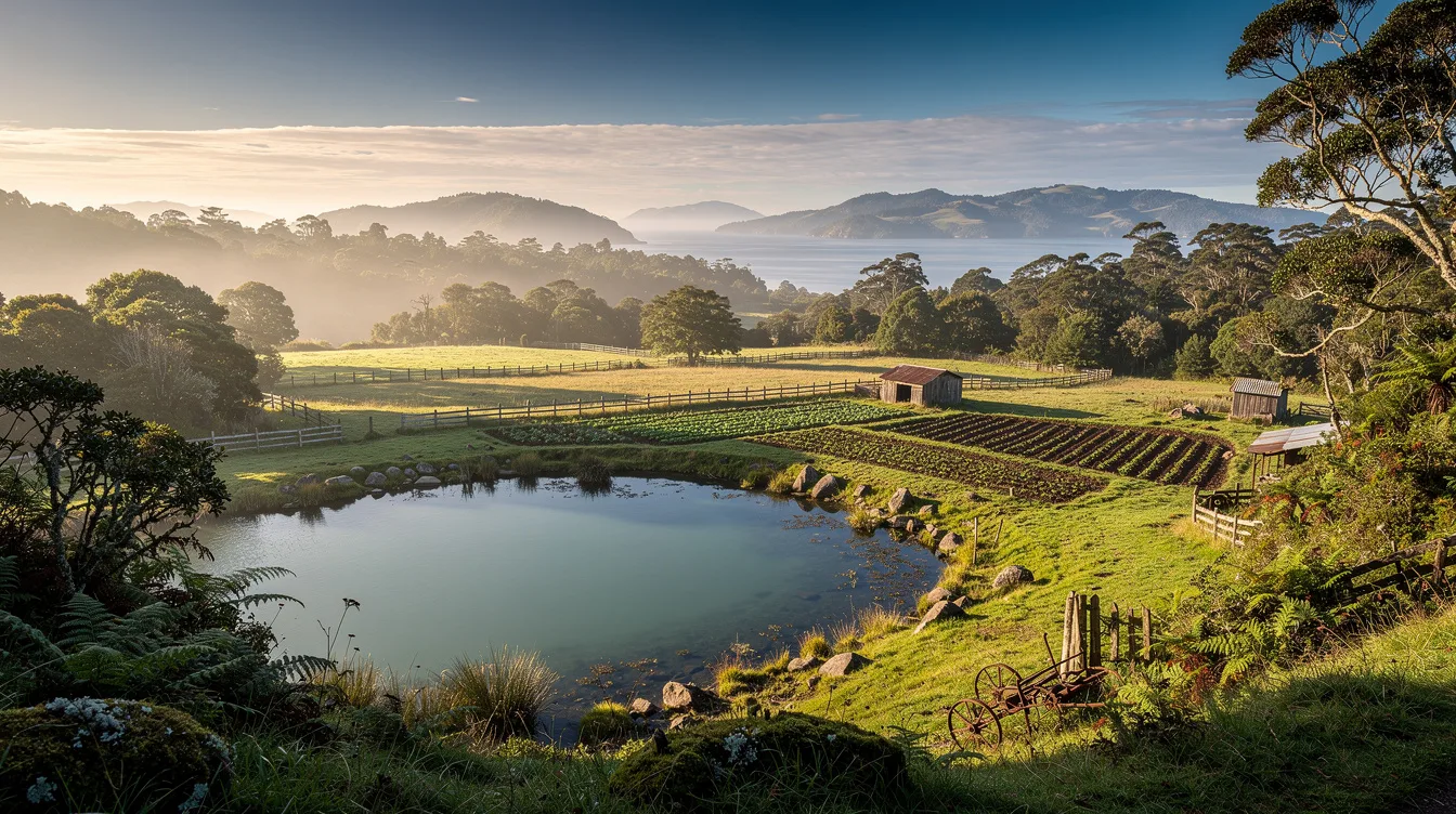
Chiloé is the Chilean island where roughly 200 lakes and lagoons sit among forests, farms, and wet ground. It’s also presented as the birthplace of the modern potato, the ancestor of the world’s most widely cultivated variety. That combination gives you a better reason to visit than scenery alone.
And the island feels shaped by water at every turn. The main island covers 3,241 square miles, with rolling hills in the north and east and dense native forest toward the west and south. Read more about Chiloé’s geography before you go, because its scale matters once you’re there.
Why Chiloé has so many lakes
The largest is Huillinco-Cucao, formed where two smaller glacial lakes meet. Beyond it, depressions in the western forests hold small lakes and bogs, while 56 hydrographic basins collect rain from the coastal ranges.
And the island’s highest ground reaches only 2,625 feet, so you won’t come for high-altitude drama. You’ll come for wet forest, moss, quiet water, and the way hills break into pasture. My view is simple: Chiloé’s water is more interesting than any single viewpoint.
But the western side can feel far removed from the settled eastern shore. You should expect a rural island shaped by forests, wetlands, cultivated fields, and the sea rather than one continuous resort strip.
The potato story is older than the Spanish arrival
The potato native to Chiloé adapted to the long days of southern Chile. Indigenous communities cultivated hundreds of varieties before the Spanish conquest, creating the genetic line linked to the potato most of the world eats today.
And that makes the island’s food history unusually concrete. You’re not visiting a place that merely claims a connection to potatoes; the plant itself grew here under conditions different from the Andean potatoes of Peru and Bolivia.
But the story isn’t frozen in the past. Agriculture still shapes the patchwork of fields and pastures, while fishing, small-scale farming, tourism, and salmon aquaculture support island life. For me, that mix feels more compelling than a polished food attraction.
Follow the potato trail through Chilean food history if you want context before tasting anything on the island. The important fact is the one beneath the plate: Chiloé helped give the modern potato its global reach.
Castro, Ancud, and a long memory of isolation
The archipelago is known for folklore, mythology, cuisine, and distinctive architecture. Its culture grew from Huilliche, Spanish, and Chono influences, shaped by centuries with limited contact beyond the islands.
And history here has a sharp edge. In 1567, an expedition of 110 Spaniards conquered the main island and established Castro. Chiloé remained the last Spanish possession in Chile until 1826, long after mainland Chile had changed sides.
But the island wasn’t simply cut off from everything. Its ports later helped launch Chilean colonization of Patagonia, and thousands of Chilotes crossed to the mainland for work or settlement. You can feel that outward pull when you look beyond Castro toward the channels and neighboring islands.
Ancud, Castro, and Quellón remain the main urban points in an archipelago that still keeps its rural character. My opinion: the contrast is the draw, lively towns surrounded by places where the weather still sets the schedule.
How do you reach the island?
You cross from mainland Chile by ferry through the Chacao Channel, which is only 1.2 miles wide. The route connects Pargua on the mainland with Chacao at the northern end of Chiloé Island, near Route 5.
And that crossing gives the island a useful sense of separation without making it unreachable. You don’t need an expedition, but you should plan around the connection because a bridge is planned to replace the ferry.
But the sources don’t establish ferry times, prices, or a best travel season. Don’t build an itinerary around invented precision. Instead, confirm the crossing before departure and leave room for weather, water, and the slower pace of island roads.
For practical planning, start with the Los Lagos region and treat Chiloé as an archipelago, not a single stop. My advice is to give yourself time beyond the ferry landing, where the island’s character begins to separate from the mainland.
What will you find beyond the roads?
The western and southern parts retain Valdivian temperate rainforest, with dense understory, mosses, ferns, and wetlands. The eastern shore is more settled, with pasture, forest, cultivated fields, peninsulas, and inlets around Castro.
And wildlife adds another reason to look outward. You may encounter habitats associated with pudú, Darwin’s fox, sea lions, dolphins, and several whale species, although the notes don’t promise sightings or specific viewing seasons.
But Chiloé isn’t effortless. Rain, scattered settlements, and the island’s size can slow a day down. That’s part of the bargain, and I think it’s a fair one: by evening, the water is still, the forest is darkening, and the ferry route feels very far away.