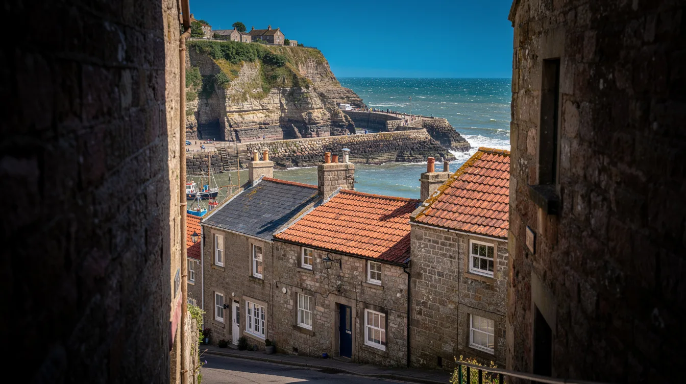
Staithes hides its best surprise in a gap barely wider than a dinner plate. Dog Loup measures just 46 cm across, and this old fishing village on England’s North Yorkshire coast claims it as the world’s narrowest alley.
You’ll find it among the cobbled lanes below the village’s steep cliffs, where red-roofed cottages press close and the harbour opens suddenly onto the North Sea. It’s a small detail, but it explains Staithes better than any postcard does: this was built for working lives, not easy circulation.
Dog Loup is the detour worth taking
Dog Loup isn’t a grand attraction with a ticket desk. It’s a passageway, tight enough to make you turn sideways, and that’s exactly why it lands. You come for a fishing village and discover that its streets still demand attention.
And don’t rush the lower village after finding it. Follow High Street and the side lanes toward the harbour, where the beck runs seaward between cottages. The scale feels intimate, but the cliffs give the place a harder edge.
The old core gathers around a sheltered harbour with long breakwaters. Because the village sits in a narrow ravine, the streets coil and compress rather than spreading out. You’ll notice doors, corners, and narrow views of water framed by stone.
But Staithes can be busy on warm weekends. Arrive early if you want the lanes before the day-trippers fill them, then let yourself wander without trying to turn every turn into a destination.
A harbor shaped by fishing, then by artists
At the start of the 20th century, 80 full-time fishing boats sailed from Staithes. Only a few part-time fishermen remain now, so the harbour feels lived-in rather than frozen for visitors.
You can still see why fishing held on here. The harbour is protected, the cottages sit close to the water, and the air carries salt when the wind comes in. It’s handsome, but never polished into a resort.
The Staithes Group found plenty to paint in those same lanes and working boats. About 50 artists were associated with the group, often called the Northern Impressionists, and their connection gives the village’s visual appeal some real history.
And that art story becomes especially tangible in September. During the Staithes Festival of Arts and Heritage, homes and other village properties become temporary galleries, turning an ordinary walk through town into a changing indoor-outdoor trail.
Low tide changes the whole visit
The beach is the reason to linger after the harbour. At low tide, more shore and rock layers appear, so you can explore the fossil-rich coast instead of merely looking at it from above.
Low tide matters here. Check local tide and weather conditions before you head down, because unstable cliffs are a real limitation and the exposed shoreline doesn’t stay exposed all day.
You’ll hear waves working against the rocks and feel the beach widen beneath your feet. The cliffs are part of a Jurassic, or Lias, geological area, and visitors often search the shaly shoreline for ammonites.
Can you turn Staithes into a coastal walk?
Yes, the village is close to the Cleveland Way National Trail, with clifftop routes toward Runswick Bay, Whitby, and Saltburn. Take a short stretch after the beach if you want the bay in full view.
But save some energy for the climb back. The visitor car park sits above the village, and driving into the old lower streets is restricted and strongly discouraged. That descent is part of the experience, though the return makes it clear why locals built compactly.
Plan around the September festival
Staithes lies about 9.9 miles north of Whitby, near the boundary between North Yorkshire and Redcar and Cleveland. It works well as a half-day stop: harbour first, beach at low tide, then a clifftop walk if the weather holds.
For 2026, the Staithes Festival of Arts and Heritage is listed for September 12-13. Go then for the pop-up galleries, but expect company. Go outside peak periods for quieter lanes and a more deliberate pace.
And pronounce the village roughly “Steers” if you’re asking directions. By the time you climb back to the car park, the harbour will be below you, the red roofs packed against the sea, and Dog Loup will seem even narrower than it did on foot.