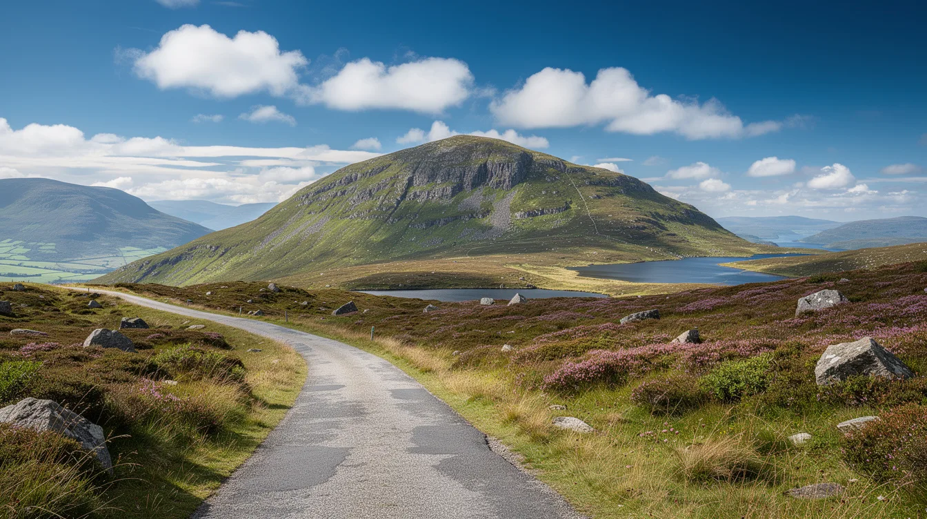
Harris has one hill that changes the scale of the island. Le Clisham rises to 2,621 feet, making it the highest point in the Outer Hebrides.
But Harris isn’t actually a separate island. It is the mountainous southern part of Lewis and Harris, the largest island in Scotland’s Outer Hebrides, where white sand meets dark hills and the weather can make a short road feel like a long journey.
Le Clisham gives Harris its rougher side
The title “highest hill in the Outer Hebrides” sounds modest until you see the terrain around it. Le Clisham at 799 meters rises above a region defined by rugged slopes, so even a drive through Harris carries the sense that the ground is always lifting away from the sea.
And that contrast is the point. Lewis and Harris are one island, but Harris has the steeper, more mountainous character, while its communities feel separate enough that travelers commonly call this southern section the Isle of Harris.
You don’t need a summit attempt to understand what makes this place distinct. Spend time in the North Harris hills, then look west toward the coast, and the island’s two moods come into focus: rock and height on one side, pale sand on the other.
But don’t mistake the name “hill” for an easy day outdoors. The notes confirm hiking in the North Harris hills, not a prescribed route or difficulty level, so plan locally before you go.
White beaches make the west coast feel improbable
Luskentyre and Scarista are the west-coast counterargument to all that stone. Their white sand, turquoise water, dunes, and machair meadow can look almost tropical in clear light, though the setting remains unmistakably Scottish once the wind comes through.
And yes, you should make time for a beach walk even if hiking is your main reason for coming. The water may look inviting, but Harris is better approached as a place for long shorelines and changing skies than a guarantee of beach-weather ease.
This is Harris at its most disarming: a mountainous island with beaches that seem borrowed from somewhere warmer.
Beyond the west coast, the east has a sharper temperament. The Golden Road follows a rocky, indented shore cut by sea lochs, so the view changes from open sand to a tighter, more rugged coastline.
Tarbert is the practical way in
Tarbert is Harris’s main settlement and ferry port, with a population of roughly 500 to 550. It is small, but it matters because arriving here puts you immediately inside the island’s working geography rather than at a distant transport hub.
From Uig on Skye, the CalMac crossing to Tarbert takes about two hours. That makes Harris a sensible continuation of a Highlands and Skye trip, though the ferry schedule means you should build your day around the crossing instead of treating it like a quick transfer.
And the arrival has useful rewards beyond logistics. The Isle of Harris Distillery sits by the ferry terminal and is known for gin, while whisky matures nearby, making Tarbert a good first stop before you fan out toward beaches, hills, or villages.
There is no airport on Harris. You can fly to Stornoway Airport on Lewis from Glasgow, Edinburgh, Inverness, or Aberdeen, then travel south by road or use buses running along the Western Isles spine route.
Harris still makes things by hand
Harris Tweed gives the island a cultural anchor that feels more durable than a souvenir stop. Harris is one of the historic centers of weaving, and local weavers’ studios and mills offer a reason to look beyond the view from the road.
But this is not a place to rush through collecting stops. The best rhythm pairs a North Harris hill walk with a west-coast beach, or a ferry arrival in Tarbert with time for weaving and the rugged east coast.
You can also head south toward Leverburgh and Northton, two of the smaller villages named in the notes. Harris has only around 1,900 to 2,000 residents, which is why the island’s scale feels intimate even when the hills look enormous.
By the time the ferry leaves Tarbert, the harbor settles back, with Le Clisham still rising beyond the roads.