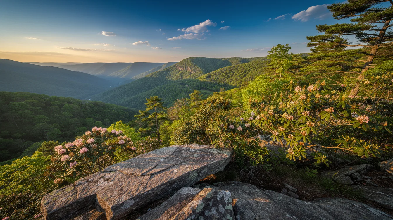
The rock the town is named for sits above **Johns River Gorge**, and the wind does something strange there.
Let me write this properly.
Blowing Rock sits at about 3,600 feet in the Blue Ridge Mountains, and the air tells you before the map does. It’s roughly 2 hours northwest of Charlotte by US 321 and 221. And that drive is the whole filter.
The town takes its name from a rock formation above Johns River Gorge. The terrain funnels wind up the gorge wall, and local tradition holds that snow can look like it’s rising back toward the sky. You don’t need snow to feel it.
Stand at the edge on a gusty afternoon and the updraft pushes at your jacket.
Twenty-six miles of carriage roads, and almost no cars
The reason to come here on foot is Moses H. Cone Memorial Park. The old Cone estate holds about 26 miles of carriage roads, graded gently for walking, biking, and horses.
They were built for carriages, so the grades stay forgiving even when the elevation doesn’t.
That’s the part most visitors skip. They photograph Flat Top Manor, drive on, and never learn that the network runs for miles behind it.
The roads connect to Bass Lake and Trout Lake. Bass Lake is the easy one, flat and circling water, good if your knees have opinions. The upper loops climb and keep climbing.
Why the Parkway changes how you plan the day
Blowing Rock connects directly to the Blue Ridge Parkway, which means you can be on one of the country’s best scenic drives in minutes. That’s rare. Most mountain towns make you commit to a highway first.
But winter complicates it. Snow and ice close sections of the Parkway without much warning, so a January itinerary built around the drive can fall apart by breakfast.
Can you visit the rock formation itself?
Yes, and the schedule is simple. The Blowing Rock site at 432 The Rock Road is generally open daily from 9 a. M.
To 6 p. M., March through October, weather permitting. Weather permitting is doing real work in that sentence.
Fog rolls into the gorge and the view disappears.
A town of 1,400 that becomes a town of 6,000
Here’s the number that explains everything about timing. Winter population runs around 1,400. Summer brings it to nearly 6,000.
So the same Main Street feels like two different places. In June you get a table. In October you get a wait and a parking problem.
The town was founded in 1889, and downtown still walks like a village. Close to 30 restaurants, and very few national chains. That last part is unusual enough to notice.
The season nobody books, and the one everybody does
Late September into October is peak foliage, and the whole High Country knows it. Rooms get expensive. Book early or don’t bother.
May and June are the quiet trade. Mountain roads are calmer, things are blooming, and the carriage roads belong to whoever showed up. It’s less dramatic than October, and considerably more pleasant.
Summer has its own logic. The elevation keeps it far cooler than the North Carolina lowlands, which is exactly why people from the flat parts of the state have been escaping up here for generations.
Do you need a car?
For the town itself, no. Downtown is compact and walkable, with hotels, galleries, and restaurants within a few blocks of each other.
For everything else, yes. Reaching Grandfather Mountain and the Mile High Swinging Bridge means driving, and so does most of the Parkway. Plan on having keys.
What kind of trip this actually is
This is a base, not a checklist. A weekend, a road trip stop, a couple of slow days where the walking is the point.
And the honest limit is scale. Blowing Rock covers about 3 square miles. If you want a city, this isn’t it.
If you want 26 miles of gently graded path and a downtown you can cross in ten minutes, the math works.
Go in June, walk the carriage roads in the early light, and you’ll pass more horses than people before the lakes wake up.