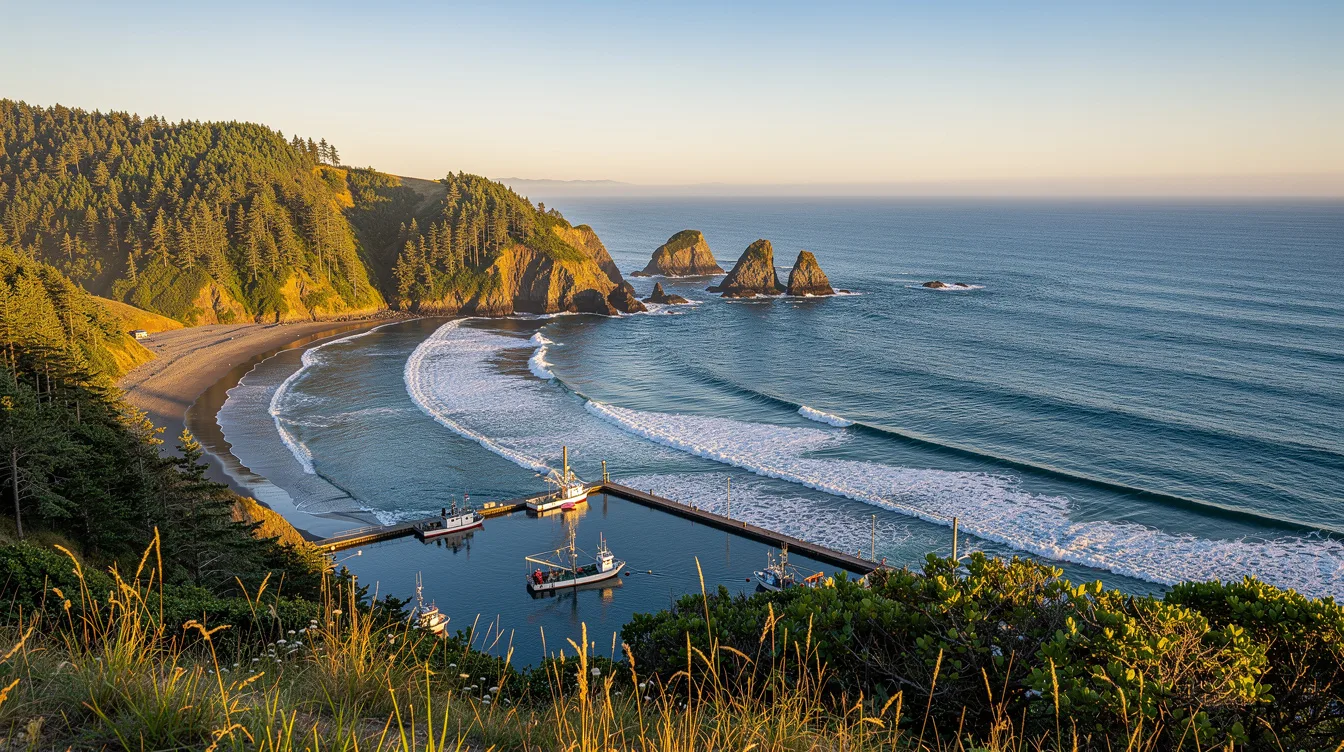
Port Orford sits at the far western edge of the contiguous United States, and that fact changes the feeling of a stop here. The Pacific is not a backdrop. It is the last thing in front of you.
Only this Oregon town holds the title of westernmost incorporated place in the lower 48. But the distinction comes with a useful nuance: several unincorporated communities in Washington’s Clallam County lie farther west.
The western edge is a real place, not a slogan
Port Orford is in Curry County on Oregon’s south coast, along US-101 between Bandon and Gold Beach. It is 28 miles north of Gold Beach, so you can reach it on a coastal drive without treating it as a detour.
And yet it feels separate from the highway rhythm. The ocean presses close to town, while the Siskiyou National Forest lies inland. You get salt air on one side and dark, wooded distance on the other.
The city had 1,146 residents in the 2020 census. That small number matters because Port Orford is not built around crowds or large-scale tourism. It is quiet, but it is not merely a place to pass through.
For perspective, Coos Bay is about 44 miles north and Portland is about 265.9 miles away. If you are driving Oregon’s coast, Port Orford is where the route starts to feel less programmed and more personal.
Battle Rock puts the coast right in town
Battle Rock is a low promontory on Port Orford’s southern coast, and it gives the town an immediate edge-of-the-continent presence. You do not need a long hike to understand what brought you here.
But this is not a polished waterfront district. The appeal is the directness of it: rock, beach, open water, and wind that can make you pull your jacket closer. That roughness is part of the point.
Nearby, Port Orford Heads adds another coastal stop, while Garrison Lake offers a change from the exposed shore. You can move between water views without leaving the town’s compact orbit, which makes a slower visit possible.
And the weather deserves respect. Port Orford has cool, very wet winters and mild, dry summers, with average annual precipitation of 72.61 inches. Bring layers because coastal Oregon does not reward optimism dressed as preparation.
The harbor works differently here
Port Orford’s fishing harbor has a dolly dock, where boats are lifted in and out by crane instead of sitting in a sheltered marina. It is a practical detail, but it also tells you how exposed this coast can be.
That working setup gives the harbor more character than a postcard marina. You may hear machinery over the water and see boats handled one at a time. It feels functional first, which is far more interesting.
But do not mistake low-key for empty. Fishing, nature, local businesses, and an artistic current shape the town’s identity. You will find a place that has its own routines rather than one performing coastal life for visitors.
The town’s name reaches back to 1792, when an explorer named nearby Cape Blanco Port Orford.
Cape Blanco is the reason to linger
Cape Blanco is close enough to make Port Orford a sensible base, and its lighthouse gives the coast a clear destination. The historic Hughes House adds another stop when you want something more grounded than another overlook.
And Humbug Mountain is also nearby, alongside beaches and coastal trails. The choice is not between town and outdoors here. Port Orford works because both are close, though the weather can decide how much time you want outside.
If you are headed south, Gold Beach is the next obvious anchor. If you are headed north, Bandon waits along US-101. Either direction works, but Port Orford is better when you leave room to stop.
By late day, the useful fact remains the simplest one: you are in the westernmost incorporated place in the contiguous United States, with the Pacific moving beyond the rock.