Ten Sleep got its frontier name from an Indigenous measure of distance: it was 10 days’ travel from Fort Laramie, Yellowstone National Park, and the Indian Agency on Montana’s Stillwater River. That’s a long way to go between rests, which makes the name feel less quaint than earned.
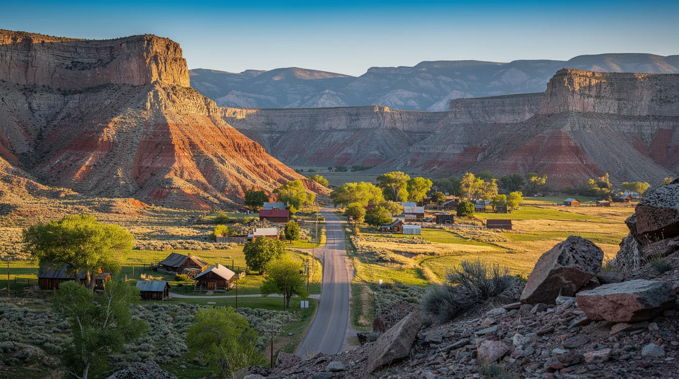
Today, the town sits in north-central Wyoming at the western foothills of the Bighorn Mountains. You can arrive on US Highway 16, see a small main street, and quickly understand that Ten Sleep still works on mountain time.
Ten days from Yellowstone, and still a place to pause
The name began with travel measured in nights rather than miles. Fort Laramie, Yellowstone, and the Stillwater River agency marked far-off points on regional routes, so “ten sleeps” described the space between them with unusual clarity.
But this isn’t a town that turns that history into a theme-park version of the West. It remains a ranching community with mineral extraction and tourism in the mix, and its scale keeps the experience direct.
246 people were counted here in the 2020 Census. That small number matters because Ten Sleep is best approached as a base, not a town packed with diversions from morning until night.
You’ll find cafes and restaurants, bars, motels, a historic hardware store, a campground, a bank, and a gas station with convenience-store basics. There are enough services to settle in, but not enough to erase the feeling that the mountains are in charge.
Ten Sleep Canyon gives the town its pull
Ten Sleep Canyon is the reason many visitors stay longer than planned. Limestone walls rise around the scenic route, and the canyon is known for sport climbing, hiking, fishing, and mountain travel.
And you don’t need to be a climber to appreciate the setting. The rock faces and road give the place its sense of scale, while the town stays close enough for a quiet meal or an easy overnight.
The canyon’s geology is unusually visible. Yellowish-gray to white Tensleep sandstone appears across much of it, while other nearby formations include red sandstone and layers associated with dinosaur fossils.
That said, fossil collecting isn’t a casual permission slip everywhere. Big Cedar Ridge is identified as open to public exploration and personal-use collection, while the broader region rewards travelers who pay attention to the posted geology signs along US 16.
US 16 climbs fast toward the Bighorns
Ten Sleep lies east of Worland and 59 miles west of Buffalo. The town is at roughly 4,426 feet, but US 16 heads east into Bighorn National Forest and changes the mood quickly.
The Cloud Peak Scenic Byway reaches about 9,666 feet at Powder River Pass. Because the route climbs into high country, it’s the kind of drive that deserves time rather than a rushed stop between larger Wyoming destinations.
Summer is the main season for outdoor activity and mountain roads. You can use Ten Sleep for hiking, camping, fishing, wildlife watching, or simply a slower approach to the Bighorns.
But colder months bring weather and high-elevation driving conditions that can affect mountain travel. Winter does have snowmobiling, cross-country skiing, and access to Meadowlark Ski Lodge, though this is not a place to treat mountain roads casually.
A small town with a hard-edged past
Ten Sleep’s frontier name isn’t its only historical weight. In March 1909, the Spring Creek Raid took place here during one of the last feuds of the West’s Sheep and Cattlemen’s War.
Cattlemen attacked sheep herders and their flock, killing three men and shooting hundreds of sheep. It’s a difficult fact, but it keeps the town’s Western identity from becoming a soft-focus backdrop.
And there are gentler traditions, too. The annual Fourth of July celebration includes a two-day rodeo and parade, while NoWoodStock is held annually on the second weekend of August.
The practical appeal is simple: stay for the canyon and the byway, not for a full-service city break. By evening, when the road traffic thins and the Bighorns darken beyond town, Ten Sleep feels like a proper rest stop again.