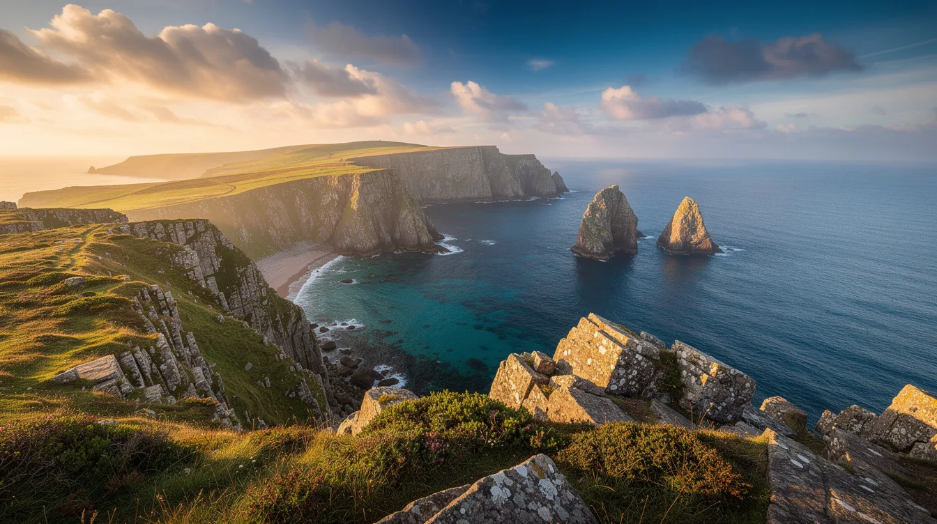
Lundy sits in the Bristol Channel, rough-edged and wonderfully inconvenient, which is exactly why it gets under your skin. In 2010, this small English island became the UK’s first Marine Conservation Zone, protecting the water around a place that has always depended on the sea.
You come for the crossing as much as the arrival. The ferry leaves Devon behind, the shore thins into a gray-green line, and then Lundy’s cliffs start doing the talking.
Eleven miles offshore, the sea sets the pace
Lundy lies 11.8 miles off the Devon coast, far enough to feel separate but close enough for a day trip. The standard boat route runs from Bideford or Ilfracombe, and the journey takes about two hours.
But don’t treat that crossing as dead time. The Bristol Channel can feel broad and muscular, so bring a layer and give yourself permission to stare at the water instead of your phone.
The seasonal ferry runs from late March through late October. That timing matters because Lundy isn’t a destination you casually squeeze between errands. You plan for it, then the island rewards the decision with space and salt air.
And once you land, there’s no conventional road network to hurry you along. You’ll walk, pause, and keep looking back toward the boat as it becomes very small.
Why the 2010 protection still feels personal
The marine designation isn’t a plaque-sized fact for visitors to memorize. It explains the whole mood of the island: the surrounding water is part of the experience, not a blue backdrop behind the cliffs.
Atlantic puffins, Manx shearwaters, grey seals, seabird colonies, and marine life draw attention above and below the surface. The island’s name comes from Old Norse for “puffin island,” which is unusually direct branding for a place this weathered.
But wildlife doesn’t perform on command. You may see birds cutting over the cliff edge or seals holding their heads above the water. You may also get wind, fog, and a very good lesson in standing still.
That’s the appeal. Lundy feels lively, but never arranged for your convenience, because the protected sea and exposed setting still call the terms.
A narrow island with room to wander
Lundy is roughly 3.1 miles long and only about 0.6 miles wide. It is England’s largest island in the Bristol Channel, yet it can feel startlingly compact when the path narrows between heathland and a cliff drop.
You don’t need a grand itinerary here. Coastal paths, granite, open ground, and long sea views give the day its shape. And the scale makes it easy to notice small shifts: a gull’s cry, damp grass underfoot, the sudden cold of wind off the channel.
The island has a harder past than its calm appearance suggests. Fishermen, smugglers, privateers, pirates, and wrecks all belong to its story, with more than 200 recorded wrecks around the coast.
That history suits the terrain. Fog and steep rock can make Lundy look severe, but the drama is honest. You’re not being sold a fantasy of isolation.
You’re walking through a place where the water has always had the last word.
Stay overnight if you want the real pause
Day trippers get the essential thrill, but an overnight stay changes the rhythm. Lundy is owned by the National Trust and managed by the Landmark Trust, with limited self-catering historic buildings, a bunkhouse, and seasonal camping.
Book well ahead, especially for puffin season and summer weekends. Limited beds are part of the point, though they also mean this isn’t the island for spontaneous holiday logistics.
You’ll find the Marisco Tavern and one general store, not a strip of competing cafes. That constraint is a relief after a few hours, because there’s less pressure to optimize the day and more reason to watch the light shift over the channel.
And if you visit in winter as a staying guest, access is generally by helicopter from near Hartland Point. It’s remote, but not imaginary. Lundy simply asks you to arrive on its schedule.
By the time the ferry heads back toward Devon, the cliffs are a dark line above the water, and the protected sea keeps moving around them.