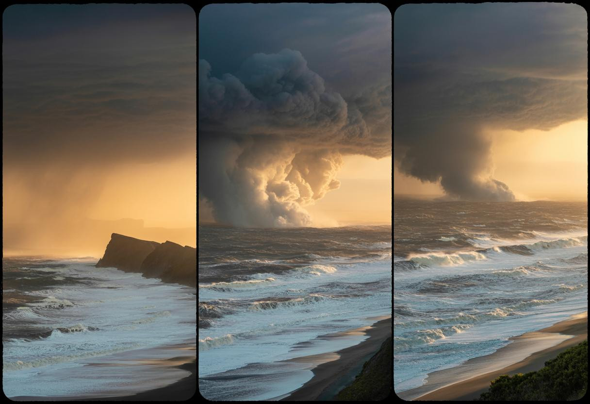
Three major U.S. coastal regions are simultaneously facing dangerous water conditions as of June 20, 2025, creating a rare triple-threat scenario that’s catching both meteorologists and emergency officials off guard. From California’s towering waves to Florida’s compound flooding risks, this coordinated coastal crisis reveals how climate patterns are becoming increasingly interconnected across thousands of miles of American shoreline.
The unexpected convergence of coastal hazards
Unlike typical weather events that affect single regions, today’s coastal warnings span 3,000 miles of U.S. coastline with distinctly different but equally dangerous conditions. The Pacific Coast faces gale-force winds reaching 35 knots with waves climbing to 12 feet, while the Southeast battles inland flooding that could compound into coastal surge scenarios.
What makes this situation particularly concerning is the timing—early summer conditions that typically don’t align are now occurring simultaneously. Climate scientists note this pattern reflects accelerating weather system interactions that weren’t commonly observed even five years ago.
The National Weather Service has issued multiple overlapping warnings, a coordination effort that demonstrates how modern forecasting must adapt to these atmospheric conditions affecting millions of Americans across multiple time zones simultaneously.
Breaking down the threat levels by region
Pacific Coast: marine hazards dominate
California’s coastline is experiencing gale warnings through Friday with northwest winds of 20-25 knots gusting to 35 knots. Wave heights are forecast to reach 10-12 feet, creating extremely hazardous conditions for marine activities and coastal infrastructure.
NOAA’s WAVEWATCH model, which typically predicts wave heights within 1-2.5 feet of actual conditions, shows sustained dangerous surf through the weekend. Coastal towns with aging cliff infrastructure face particular vulnerability during these extended high-wave periods.
Southeast: compound flooding scenarios emerge
Florida and the Carolinas are experiencing a different but equally dangerous pattern. Recent storms have dumped over 6 inches of rainfall in some areas, saturating ground conditions that make coastal areas more vulnerable to any additional surge or high tide events. This creates what experts call “compound flooding”—where multiple water sources combine to exceed typical flood thresholds.
The Southeast’s situation is complicated by extreme heat dome conditions that are generating atmospheric instability, fueling additional thunderstorm development that could worsen flooding scenarios.
Northeast: heat stress creates hidden vulnerabilities
While New York’s coast isn’t facing direct flood warnings, the region is experiencing heat indices exceeding 105°F that stress infrastructure and emergency response capabilities. This heat wave is three times more likely due to climate change, creating conditions that could complicate response efforts if coastal emergencies develop.
The climate connection nobody saw coming
Perhaps most surprising is how these seemingly separate events connect through atmospheric patterns. The high-pressure system driving eastern heat has shifted weather flows that contribute to both Pacific storm development and Southeast rainfall intensity.
Research suggests that simultaneous multi-coast events are becoming 40% more likely than they were two decades ago. This represents a fundamental shift in how coastal communities must prepare for emergencies—no longer can regions assume they’ll face threats in isolation.
These patterns mirror similar extreme weather patterns emerging across the country, where multiple hazards compound to create unprecedented challenges for emergency management.
Essential safety actions for coastal residents
Immediate protective steps vary dramatically by region. Pacific Coast residents should avoid beaches and harbors through Friday, with particular caution around piers and rocky coastlines where wave action intensifies.
Southeast residents need to monitor both inland flooding alerts and coastal conditions, as saturated ground conditions make flash flooding more likely even from moderate rainfall or storm surge.
Northeast coastal communities should prepare cooling strategies while maintaining awareness of potential weather system shifts that could bring rapid coastal condition changes.
What this means for summer coastal safety
This triple-threat scenario represents a new reality for American coastal preparedness. Emergency management officials are adapting communication strategies to address simultaneous multi-region warnings—something that wasn’t standard protocol until recently.
The convergence of these hazards suggests that summer 2025 will require unprecedented coordination between regional weather services and emergency management agencies. Coastal residents should expect more frequent overlapping warnings as climate patterns continue evolving in unpredictable directions.
